Owl’s Head Adventure
This past Saturday, May 14, I attempted to summit Owl’s Head, a mountain in the Pemigewasset Wildernass of the White Mountain National Forest in New Hampshire. It’s one of the most remote of the Four Thousand Footers.
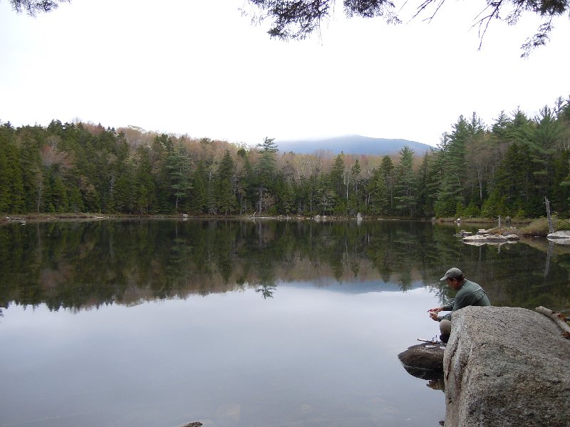
The shortest route to Owl’s Head from any trailhead is via the Lincoln Woods Trail. From there, it’s 9 miles each way, making for a non-trivial 18 mile day. However, since that trail has some tough river crossings, we decided to do some bushwhacking to avoid those. We took the Black Pond Trail, and from Black Pond (pictured below), we bushwhacked for about a mile north to where the trail to Owl’s Head crosses back onto the south side of Lincoln Brook (variation “A” in the map linked to above).
We followed the trail for another few miles until it crossed the brook again. Tried as we might, we couldn’t find a suitable route across the brook, so we reluctantly took our boots off and waded through. Let me tell you, that water was cold. There’s still plenty of snow melt this time of year (and plenty of snow at higher elevations). We thought that that was the only water crossing left, according to the map. We were wrong—the brook has an unmarked fork, so there was a second crossing that we were forced to wade through.
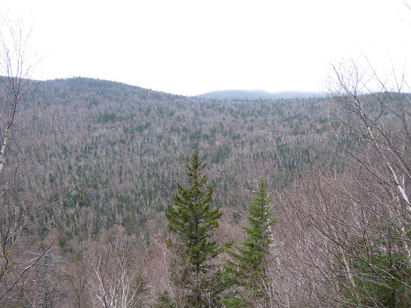
By around 12:45 pm, we had finally made it to the fork for the trail going up to the summit of Owl’s Head, which was not marked by any signs. The only indications of the trail were two smallish cairns placed a trail’s width apart next to two parallel logs pointing up the mountain. Up until this point, the hiking had been almost entirely flat. Now, the trail shoots up 1500 vertical feet over 1.1 miles, an average grade of about 26%. On the plus side, though, we finally saw some fantastic views that weren’t of the river:
Shortly after beginning the steep climb up the loose scree, we came across the first people we’d seen all day since Black Pond. Coming down from the summit of Owl’s Head was a group with a blind man! They were of course slow-moving, as the blind man had to be carefully guided down the mountain, but it was an impressive feat nonetheless. They had camped out at the base of the mountain the night before and had taken a huge chunk of the day to go up and down that 1.1 miles.
The afternoon went on, and we found a stream of water pouring down the narrow trail. It was getting late, and the weather forecast was calling for rain. So although we were probably only about an hour away from the summit, we made the wise decision to turn around and head back home. It’s painful to come so close to the summit and not make it (especially one so remote), but I think it was the right decision. We still had another 8 miles of hiking ahead of us, including two stream crossings and more bushwhacking.
On the way back, we passed by the group with the blind man again around the stream crossings. They also had a dog with them (whom I presume was the blind man’s seeing-eye dog but was not acting in that capacity for the hike) who made it across the first crossing but couldn’t make it across the second. The poor dog had this horrible fear in his eyes and sadly had to be carried across.
When we made it back to the the next stream crossing that we had avoided by bushwhacking, we again went off trail with the goal of avoiding unnecessary wading. We could have attempted to retrace our steps back towards Black Pond, but the difficulty with that is that if we were off by just the smallest amount, we wouldn’t hit the trail and would have to bushwhack far more to find our way back onto it. Instead, we bushwhacked along the bank of the river (variation “B” of the aforementioned map, in reverse). It’s a slightly longer bushwhack, but it does not require pinpoint navigation.
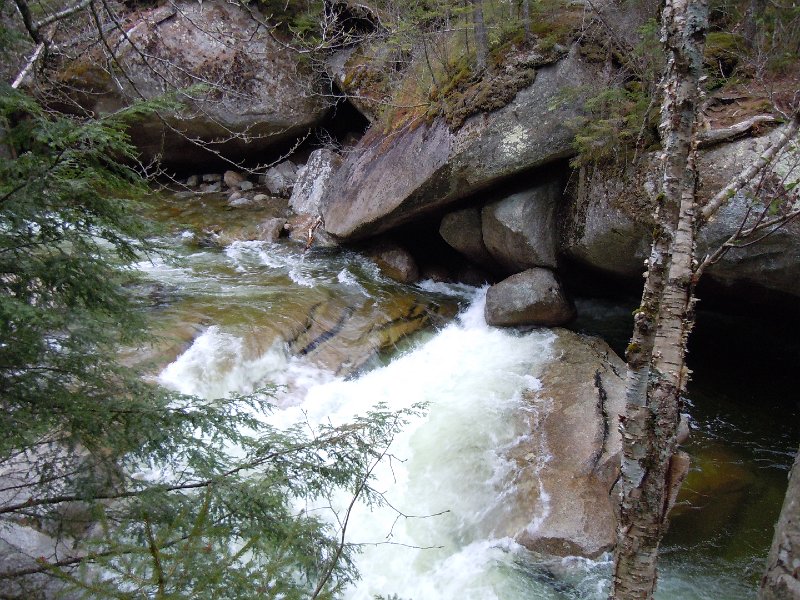
1.5 miles or so later, we came out of the woods at Franconia Falls:
As we started following the trail back out to the Lincoln Woods parking lot, we came across a curious sign that said only “200 Feet” on it. We were a little confused as to its meaning, until a short while later when we saw another sign inquiring if you knew how much 200 feet was—in the Pemigewasset Wilderness (and many other parts of the WMNF), camping and campfires are prohibited within 200 feet of trails and waterways. The signs were demonstrating that 200 feet is farther than you might think.
We hustled through the final few miles back to the car, as it was really starting to rain considerably. We finally made it back to the car sopping wet at 7:00 pm, completing about 16 miles or so in just under 11 hours. We were sure glad we turned around when we did!
I’ll definitely have to come back to Owl’s Head some time if I’m to finish hiking all of the Four Thousand Footers, but after this adventure, I’m putting it down near the bottom of my list. It’s very remote, it has numerous stream crossings, and the trail is poorly maintained (I think we saw a grand total of two blazes and one arrow painted on a rock on the entirety of the trail between where we joined it after the bushwhack and where we turned around).
Stay tuned for more updates on the Four Thousand Footers, I have plans to hit many more this summer.


